The Archaeology Fund
South Arabia
|
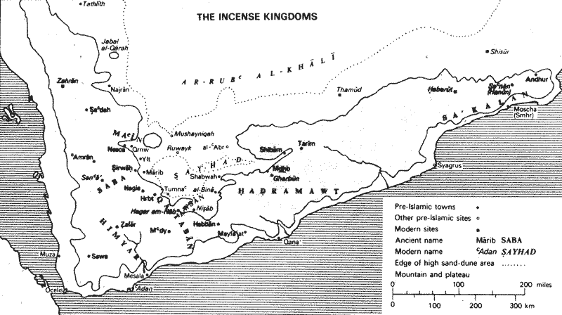
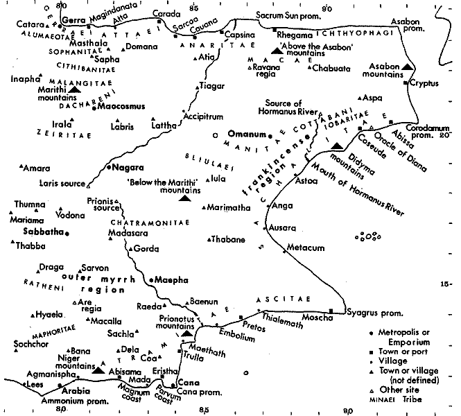
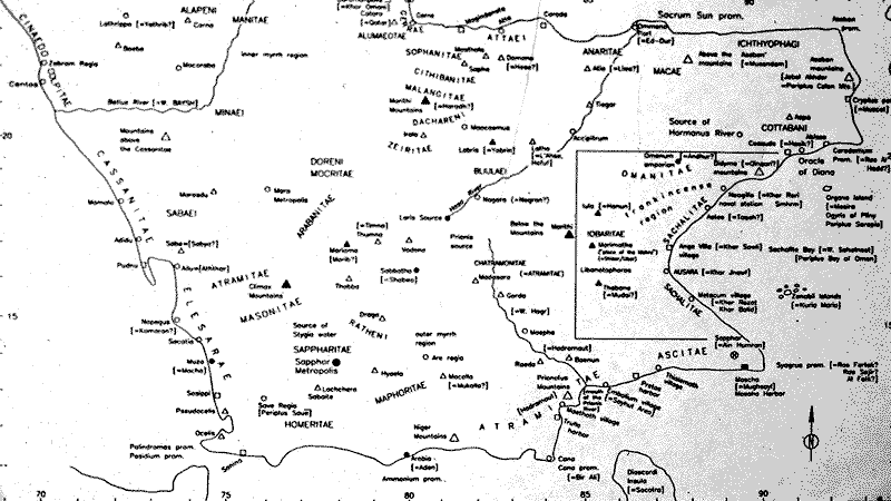
Until Western contact with Southern Arabia in the mid first millennium BC, the expression of an exact location through topographical maps did not exist. To be sure outstanding examples of early plans explaining routes, features and structures can be found in second and even late third millennia BC Mesopotamian and Egyptian examples. However such efforts are purely schematic and offer little in the way of precise locations. Various Greek writers in the late centuries BC were the first to systematically describe topographic features and routes, natural resources, indigenous populations, etc. Such an approach culminated in the anonymous Periplus of the Erythrean Sea of the first or second centuries AD. However, the entire description was confined to a narrative format. Apparently no visual aid was produced to accompany this text. Therefore the work of Claudius Ptolemy in the mid second century AD, set cartographers on an entirely new and radical course. Ptolemy published in his Geographica a work of seven volumes, a gazetteer of the world known to him. Hitting upon the idea of locating prominent places and features in relationship to each other, he invented longitude and latitude. In his scheme, zero latitude represented the Equator and zero longitude originated in the Canary Islands. Based on these calculations, Ptolemy constructed tables of locations and geographical features given to him by merchants, travelers and explorers. It is thought that his earliest compilation of such tables occurred by the mid second century AD. However, our earliest known copy of Ptolemy does not occur until the ninth to tenth centuries AD in Arabic sources and European copies at a somewhat later date. There is still considerable debate on whether Ptolemy himself actually constructed an atlas of these tables. Thus, our earliest map constructed from these tables is a twelfth century Arabic copy. From a western perspective, the best known examples of Ptolemy are Italian and German copies dating originating from the fifteenth century and later. Needless to say, his maps remain the standard for travel and exploration until the discovery of the New World by Portuguese and Spanish explorers. Book six in Ptolemy's Geographica relates geographical locations and the people of Southern Arabia, presumably as he understood the situation in the mid second century AD. Therefore, detailed copies in Arabic, Greek and Latin from subsequent centuries should accurately and faithfully reproduce Southern Arabia of the second century AD. Such a valuable compendium has been of considerable assistance in locating historical and late Iron Age archaeological sites of Southern Arabia. The standard map reproduction of Southern Arabia traditionally follows Spengler's map of 1868. In spite of the use of longitude and latitude, considerable error exists in Ptolemy's maps due to miscalculations of the Earth's circumference in the second century AD and other errors of proportionality and location. |
|


